Moon walk and eco-tech
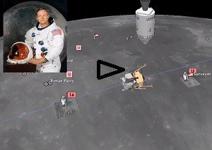
Called James´s reserves, It is 30 acres south of the mountain ranges  San Jacinto in Southern California, it is closed to the public, outside the circuit and cars are not allowed. But Sean Askay as a graduate student at UCLA in 2005, used Google Earth to create a visual interface for all cameras and sensors that are present in the park and are a lab studies for biologists, scientists in general and to commercial researchers. Sean calls this area “one of the most heavily instrumented places in the USA ‘, there to bird nests has automated cameras and sensors themselves spying on them. The station is a research field for biologists, being supervised by the University of California, Riverside, but virtual Askay the entire reservation, “she said to Wired magazine,” You can ‘fly’ and look at live video and graphics interior temperature of a bird box took the experience even further, using Google Earth to create a visual interface for all aqueusando all them cameras and sensors. “Basically, I built a representation.” Its design drew attention of the first designer of the Internet protocols Vint Cerf, and in 2007, one of the creators of the Google project and convinced Askay to move to Mountain View, California. Now Google Earth is creating an extraordinary software service combining satellite photos and other images to create a digital window on our planet (and other celestial bodies). Among other things he created a spacewalk next to Buzz Aldrin to reminding the moon landing Apollo 11, on arrival history of man on the moon in 1968 years.


